By Nomvula Mpungose
Rainfall in subtropical southern Africa experiences substantial changes in space and time owing to factors such as regional orography, geographic position, impacts of large-scale climate modes (E.g. El Niño Southern Oscillation; hereafter ENSO), and changes in regional sea surface temperatures. The assessment of rainfall patterns and prediction of extreme rainfall events is crucial, especially in regions that rely on rain-fed agriculture.[1] Northeastern South Africa, the summer rainfall season of the country, receives more than 40% of its total annual rainfall in January - March.[2] This can positively impact water bodies i.e. increased lake levels, on the other hand, severe socio-economic impacts can occur as a result of extreme rainfall events. In April 2019 eastern South Africa (KwaZulu-Natal) experienced severe flooding which led to 71 deaths with an estimated number of 1400 people displaced.[3] The damage caused was estimated to be about USD71 million. Hence, research on rainfall over this region often focuses on the early (October – December) and late (January – March) summer seasons. For this article, the focus is on the entire summer season (October – March) covering the period of 1981-2018.
Historically, the prediction of rainfall and extreme weather events has been done using station data and satellite datasets. However, the latter has been previously associated with regionally and seasonally dependent biases over land. For example, satellite rainfall estimates such as the Tropical Rainfall Measuring Mission (TRMM) are useful for precipitation monitoring in regions where station data are difficult to obtain. Nevertheless, TRMMhave records of less than 30 years and therefore cannot be used to infer long-term changes in rainfall.[4] At the same time, it is difficult to understand rainfall climatology over Africa using station data only, due to the scarcity of records from existing rain-gauge networks. Recent developments such as the Climate Hazards Group InfraRed Precipitation with Station data (CHIRPS) combine multiple data including satellite imagery and gauge records to provide high-resolution rainfall data.[5] Additionally, these are better suited for mountainous regions with convective rainfall such as eastern South Africa, the region of focus in this article. Previous studies have also used these data over similar regions, further corroborating the quality of CHIRPS data.[6],[7]
When looking at the mean summer rainfall, the results showed an initial tendency for wetter seasons, followed by consecutively dry years towards the end of the period i.e. the mean summer rainfall has decreased over the years. Overall, 22 years during the 37-year-period experienced below average summer rainfall. To find out why this is the case, the following questions were addressed:
- Is the decrease in rainfall influenced by an increase in the number of extreme rainfall days?
- How are the regional and large-scale influences impacting this outcome?
The assessment of extreme rainfall days showed that the late summer (JFM) had a greater number of extreme events on the interannual time scale, compared to the early summer (OND). These events mostly appeared earlier in the period (1988-2009) during OND whereas the JFM events were more evenly distributed during the entire period, even though the highest amounts/peaks were mostly seen in the mid-1980s, 1996, and 2000. Comparing these results with anomalies in rainfall totals for each sub-season showed that 25% of the top 50 extreme rainfall events were associated with positive anomalies in rainfall totals whereas, for JFM, almost 40% of the seasons with extreme events also showed above-average rainfall amounts. This means that both the intensity of daily rainfall and the number of heavy rainy days contribute to rainfall totals and in JFM, the contribution from both factors is even more consistent. However, anomalously wet seasons do not always coincide with extreme daily rainfall events and vice versa.
From the analysis of the major weather systems that cause rainfall over eastern South Africa, it was identified that tropical lows are the main weather systems that contribute to extreme daily rainfall events over the region, commonly occurring in March. A band of clouds can also suppress rainfall when located further north of the region, the opposite can enhance conditions favourable for rainfall. Other weather systems which also contribute to the mean summer rainfall over this region, albeit not quite significant, are cut-off lows and mesoscale convective systems.
In summary, the rainy season (October – March) of eastern South Africa experiences anomalous rainfall which is due to the frequency and intensity of rainy days as well as extreme daily rainfall events. ENSO-rainfall relationships over this region are significant and are particularly strong during JFM. These relationships are well pronounced for wet seasons compared to dry seasons. However, some of the wet JFM seasons where ENSO did not have much of an impact coincided with strong Mozambique Channel Trough years, which suggests that the movement of moisture from the east where the Mozambique Channel region is located, may have otherwise influenced these anomalously rainy seasons during JFM. From this study, it was concluded that there is a need for more rain-gauge networks to help constrain satellite data to reality and thus improve forecasting of extreme daily rainfall.
Author’s Bio:
Nomvula Mpungose recently completed her Master of Science in the field of Ocean and Atmosphere science at the University of Cape Town, South Africa. Her research interests include using data science and machine learning to understand climate dynamics.
References
Bopape, Mary-Jane M, Ezekiel Sebego, Thando Ndarana, Bathobile Maseko, Masindi Netshilema, Morne Gijben, Stephanie Landman, et al. “Evaluating South African Weather Service Information on Idai Tropical Cyclone and Kwazulu-Natal Flood Events.” South African Journal of Science 117, no. 3-4 (2021): 1-13.
Dinku, Tufa, Chris Funk, Pete Peterson, Ross Maidment, Tsegaye Tadesse, Hussein Gadain, and Pietro Ceccato. “Validation of the Chirps Satellite Rainfall Estimates over Eastern Africa.” Quarterly Journal of the Royal Meteorological Society 144 (2018): 292-312.
Funk, Chris, Pete Peterson, Martin Landsfeld, Diego Pedreros, James Verdin, Shraddhanand Shukla, Gregory Husak, et al. “The Climate Hazards Infrared Precipitation with Stations—a New Environmental Record for Monitoring Extremes.” Scientific data 2, no. 1 (2015): 1-21.
Mahlalela, PT, RC Blamey, NCG Hart, and CJC Reason. “Drought in the Eastern Cape Region of South Africa and Trends in Rainfall Characteristics.” Climate Dynamics 55, no. 9 (2020): 2743-59.
Maidment, Ross I, David Grimes, Richard P Allan, Elena Tarnavsky, Marc Stringer, Tim Hewison, Rob Roebeling, and Emily Black. “The 30 Year Tamsat African Rainfall Climatology and Time Series (Tarcat) Data Set.” Journal of Geophysical Research: Atmospheres 119, no. 18 (2014): 10,619-10,44.
Naumann, G, P Barbosa, H Carrao, A Singleton, and J Vogt. “Monitoring Drought Conditions and Their Uncertainties in Africa Using Trmm Data.” Journal of Applied meteorology and Climatology 51, no. 10 (2012): 1867-74.
Rapolaki, Ramontsheng S, Ross C Blamey, Juliet C Hermes, and Chris JC Reason. “A Classification of Synoptic Weather Patterns Linked to Extreme Rainfall over the Limpopo River Basin in Southern Africa.” Climate Dynamics 53, no. 3 (2019): 2265-79.
Endnotes
[1] Ramontsheng S Rapolaki et al., “A Classification of Synoptic Weather Patterns Linked to Extreme Rainfall over the Limpopo River Basin in Southern Africa,” Climate Dynamics 53, no. 3 (2019).
[2] Ross I Maidment et al., “The 30 Year Tamsat African Rainfall Climatology and Time Series (Tarcat) Data Set,” Journal of Geophysical Research: Atmospheres 119, no. 18 (2014).
[3] Mary-Jane M Bopape et al., “Evaluating South African Weather Service Information on Idai Tropical Cyclone and Kwazulu-Natal Flood Events,” South African Journal of Science 117, no. 3-4 (2021).
[4] G Naumann et al., “Monitoring Drought Conditions and Their Uncertainties in Africa Using Trmm Data,” Journal of Applied meteorology and Climatology 51, no. 10 (2012).
[5] Chris Funk et al., “The Climate Hazards Infrared Precipitation with Stations—a New Environmental Record for Monitoring Extremes,” Scientific data 2, no. 1 (2015).
[6] Tufa Dinku et al., “Validation of the Chirps Satellite Rainfall Estimates over Eastern Africa,” Quarterly Journal of the Royal Meteorological Society 144 (2018).
[7] PT Mahlalela et al., “Drought in the Eastern Cape Region of South Africa and Trends in Rainfall Characteristics,” Climate Dynamics 55, no. 9 (2020).
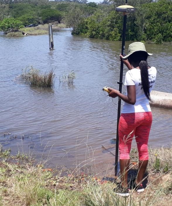
Feature Image: Author’s Own.